Best Places to Visit Near Santa Teresa, Costa Rica
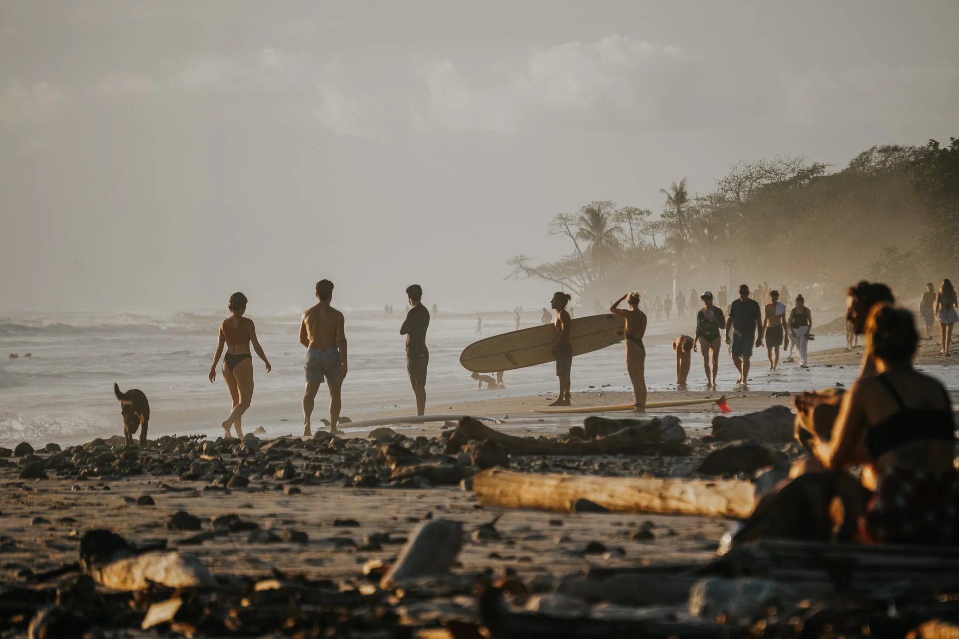
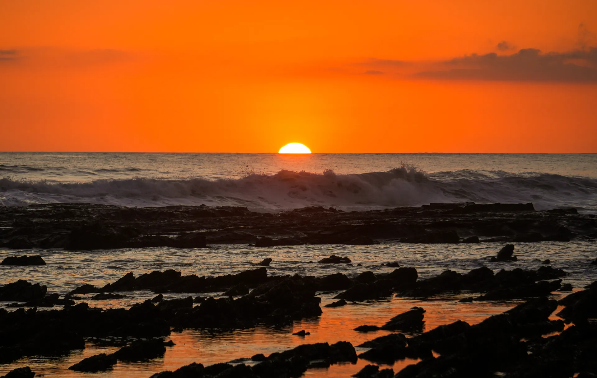
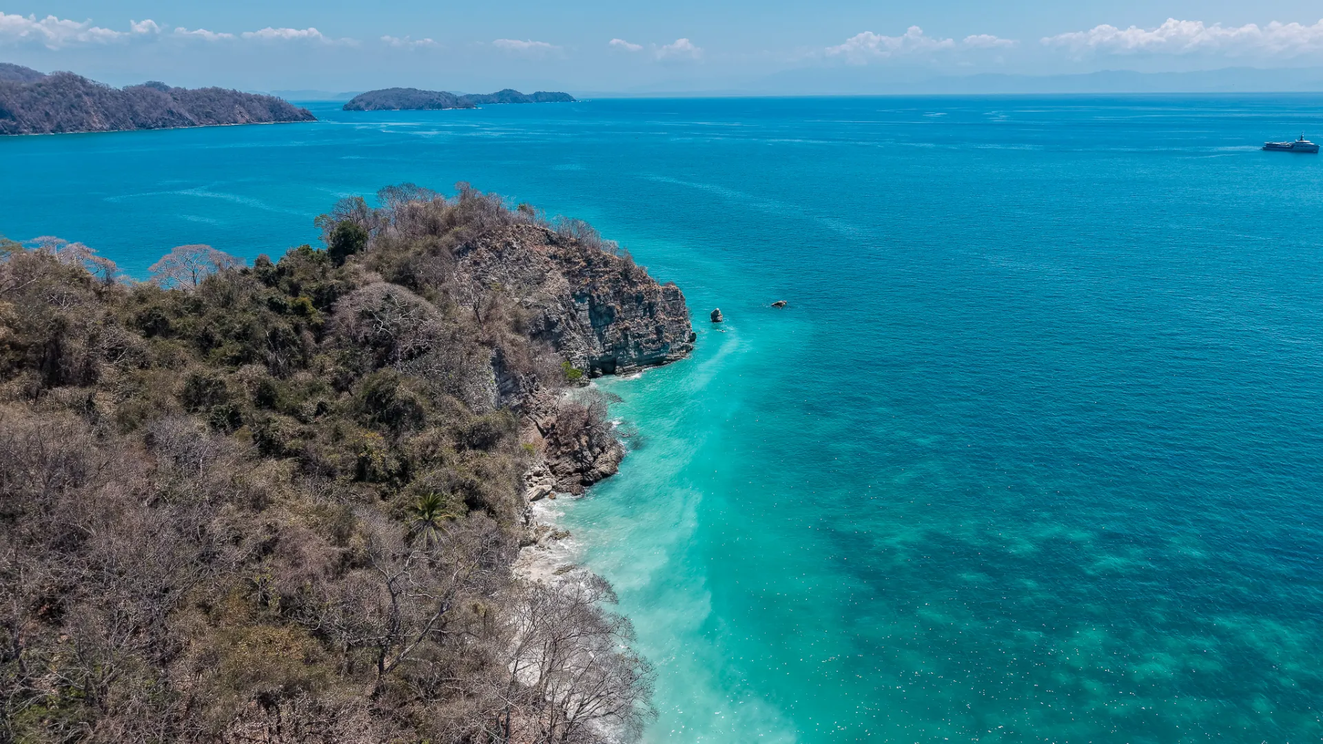
Some of the best places around Santa Teresa are easier to explore by area. Malpaís, Cabuya, Montezuma, La Florida, Manzanillo and Curú each have beaches, natural pools, waterfalls or local stops worth combining in one outing.
By Info Santa Teresa · Locally verified Sep 2026
Things to Do
10 min read
Sep 17, 2026
The easiest way to explore is by area
We plan these places by zone so you are not driving back and forth all day. Some are quick stops, some depend on the tide, and some are worth building a full day around.
Malpaís and Mar Azul
Mar Azul
Mar Azul is a smaller, quieter beach south of Santa Teresa. It is known locally for its left point break, and if you are not surfing it is still a good place to slow down.
Natural pools and Piletones de Malpaís
Along the rocky coast south of town, natural pools become easier to enjoy around mid to low tide. The exact conditions matter because this is still exposed Pacific coastline. We always look at the swell and tide before treating the pools as a swimming stop.
Playa Suecos, also called Playa Cuevas
Playa Suecos and Playa Cuevas are two names for the same small beach south of Malpaís. The cove feels very different from the long open beaches of Santa Teresa. Low tide is the better time for exploring around the rocks, and when the ocean is calm, snorkeling can be an option.
Malpaís Fishing Village
If you are already in Malpaís, the fishing village is worth seeing as part of the route. It is a working local area, and the sport fishing trips we offer from Malpaís leave from this part of the coast.
Cabuya and Cabo Blanco
Boca del Río Lajas
If you are exploring Cabuya, this is the part of Río Lajas we most recommend visiting. The river meets the coast here, so you get freshwater, rocks and beach in the same spot. Conditions change a lot after heavy rain, so expect the river to look different through the year.
Isla Cementerio
The island is an active cemetery used by the local community. You can walk across only when the tide allows, so check the tide before going and leave enough time to return safely. Visit respectfully and leave nothing behind.
Higuerón de Cabuya
This enormous old tree sits beside the road in Cabuya and is one of those quick local stops that is easy to miss if nobody tells you it is there. It was recognized as an Exceptional Tree of Costa Rica in 2009.
Cabo Blanco Absolute Nature Reserve
Cabo Blanco was created in 1963 and was Costa Rica's first protected area. The visitor entrance is through the Cabuya sector. Searching the reserve name in Google Maps can point you toward the Malpaís side, which is not the public visitor entrance. From Cabuya, follow the signs for Cabo Blanco and Estación Cabuya.
At our September 2026 review, official Costa Rica tourism information lists the reserve as open Wednesday through Sunday from 8 AM to 4 PM, with the last entry to the main beach trail at 11 AM. Entry for foreign visitors is listed at US$12, and visitor numbers are limited, so we recommend confirming current access before driving there.
Official visitor information → · SINAC reservations and updates →
Between Cabuya and Montezuma
Playa Las Manchas
Playa Las Manchas is a small beach between Cabuya and Montezuma, framed by dark volcanic rocks. It is worth a stop when you are already moving between the two areas.
We do not recommend it as a snorkeling stop. A current can form through the middle of the cove and can be dangerous at times, and there is no lifeguard service. Use extra caution around the water and stay on shore if the swell or current looks uncomfortable.
Montezuma and waterfalls
Montezuma Waterfalls
The Montezuma River has three main cascades. The lower waterfall is the largest and the one most visitors see first, reached by following the river trail from the access near town. The walk involves rocks and can be slippery, especially after rain, so wear shoes with grip and do not treat jumping spots casually.
Trail and parking on Google Maps →
Piedra Colorada
Piedra Colorada is reached by walking north from Montezuma along the coastal trail. A small river meets the beach here and often forms a freshwater pool. If you continue a little farther upstream, there are smaller pools and a waterfall under the forest canopy. Leave the colorful river stones where they are.
Playa Grande
Playa Grande is reached on foot from Montezuma through a shaded coastal and jungle trail. Plan on roughly half an hour from town depending on your pace. There are no services on the beach, so bring water and anything you need for the walk back.
Playa Cocalito and El Chorro Waterfall
Cocalito is a much bigger outing than a quick stop. If you walk from Montezuma, the route combines jungle, beaches and river crossings and can take around two hours each way. The highlight is El Chorro, where the waterfall drops from the cliff toward the ocean. Go with enough water, check the tide and do not add this casually to an already packed day.
El Chorro and Playa Cocalito on Google Maps →
La Florida Waterfall
La Florida is one of the freshwater stops we like when you want a break from the coast. From Cóbano, the road to the entrance is paved almost all the way, followed by roughly 200 meters of dirt road to the parking area. A 4x4 is normally not necessary.
Entrance is currently ₡2,000 per person and is paid directly to the owner of the finca at the entrance. We recommend going in the morning and spending the late morning or midday there.
During rainy season, very heavy rain can cause sudden rises in river flow, known locally as cabezas de agua. Ask the owner at the entrance about current conditions before going down to the water. If conditions are not good, she can warn visitors before they enter.
Manzanillo and the north
Manzanillo
Manzanillo feels much quieter than central Santa Teresa, with a wide beach and a slower rhythm. It is an easy place to spend a morning or stay through sunset, and it combines naturally with Playa Hermosa and the coastal stops in between.
Playa Mestizos and the natural pools
Playa Mestizos is a useful reference point for the natural pools between Playa Hermosa and Manzanillo. At low tide, rock pools can form along this section of coast. They depend on tide and ocean conditions, so do not expect the same experience every day.
Playa Mestizos on Google Maps →
If you are starting from the south, Playa Hermosa is another easy reference point for this northern route.
Playa Hermosa on Google Maps →
Curú and Tambor
Curú Wildlife Refuge
Curú is one of our favorite day trips if you want wildlife, forest and a beautiful beach in the same outing. The refuge covers 1,496 hectares and includes protected forest, mangroves, beaches and several walking trails. Day visitors can enter from 7 AM to 4 PM, and we recommend arriving early. The refuge suggests the 7 to 9 AM window for seeing wildlife, and the cooler morning hours also make the longer trails more comfortable.
As of September 2026, the Curú day pass shows US$18 for foreign adults and US$10 for foreign children ages 3 to 11. For Costa Rican visitors it shows US$7 for adults and US$4 for children ages 3 to 11. Curú does not accept cash, and prices can change, so check the reservation page before you go.
View on Google Maps → · Check admission and reserve → · Official Curú information →
Playa Quesera: the route we recommend
If you have the time, this is the Curú plan we like most. Walk from the refuge to Playa Quesera in the morning, spend some time at the beach, then return by boat instead of walking the same trail back.
The official refuge lists the Quesera trail as 5.1 km and about 1.5 hours each way, and classifies it as strenuous. In our experience, for someone who is reasonably active the walk is manageable and not technical, but the heat and humidity can make it feel harder. Wear good walking shoes and comfortable clothes, and bring water and a few snacks in a small backpack. Pack your swimsuit too, because reaching Playa Quesera and getting into the water is the best part of the walk.
Playa Quesera requires a reservation. We recommend booking ahead, especially in high season, and starting early both for the heat and because access is limited.
Local tip: arrange the boat back at the Curú entrance before you start the hike. At our latest local check, the return boat costs ₡6,000 per person and you pay for it there. Boats leave Quesera at agreed times, so confirm yours before you set off. You can also ask about adding a snorkeling stop for an extra charge.
Once you are back near the entrance, you can still walk some of the shorter Curú trails before leaving.
View Playa Quesera on Google Maps → · Reserve Quesera and check current conditions →
How we would combine the areas
For the south, Malpaís, Cabuya and Montezuma fit naturally together, but the direct internal road from Malpaís through Cabuya requires an ATV or 4x4. With a normal car, use the Playa Carmen, Cóbano and Montezuma route instead. For the north, Playa Hermosa, Playa Mestizos and Manzanillo make an easy combination in normal road conditions.
Before you go
Tide is part of the plan here. Isla Cementerio and several natural pool stops only make sense at the right tide, and Pacific swell can change quickly. Some nature reserves also have their own entry rules. We check the day before.
Frequently asked questions
What should I visit if I only have one free day?
We would choose one zone and not try to see everything. Cabuya and Montezuma work well together if you have the right vehicle and enough time. Boca del Río Lajas, Isla Cementerio and the Higuerón can all fit into a Cabuya day. For an easier beach day, Playa Hermosa, Playa Mestizos and Manzanillo work well together.
Do I need a 4x4 to visit these places?
Not for every place. The important exception is the direct internal road between Malpaís and Cabuya, where we recommend an ATV or 4x4. Montezuma can be reached with a normal car via Playa Carmen and Cóbano.
Which places depend most on the tide?
Isla Cementerio and the natural pools around Malpaís, Mar Azul and Playa Mestizos are the main ones. Check the tide before leaving.
Where can I find the free options?
See our guide to free things to do in Santa Teresa for beaches, natural pools and local stops that do not require booking an activity.